Bozeman Chamber Book Your Stay

Hiking

in Bozeman, Montana

Main Street to Mountain Trail System  

Scroll Down Move Down

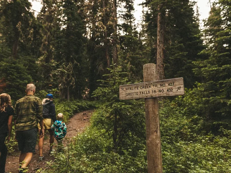
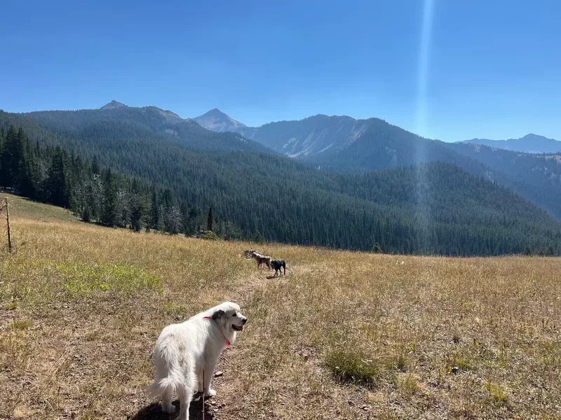
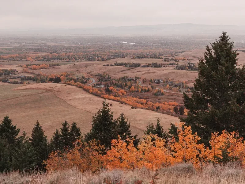
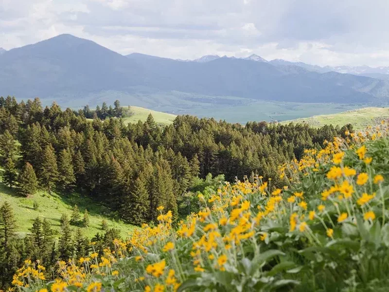
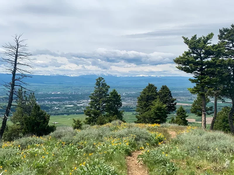
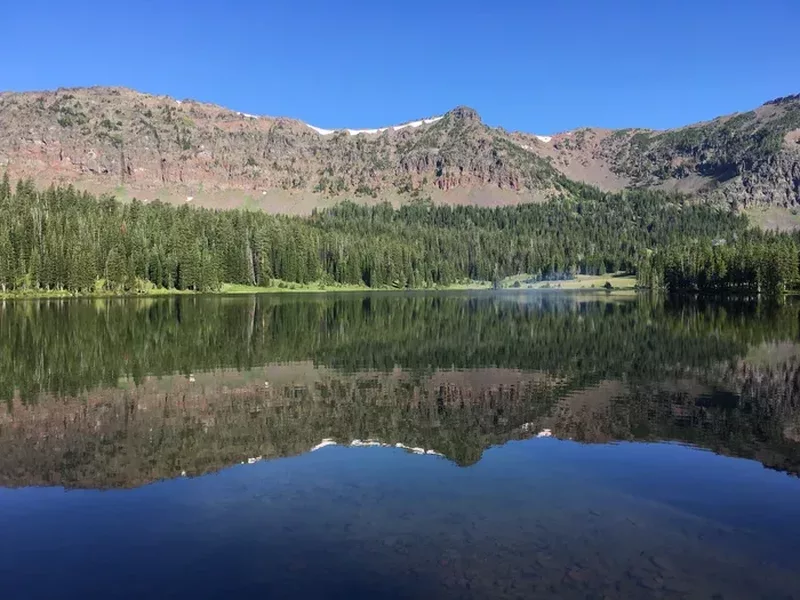
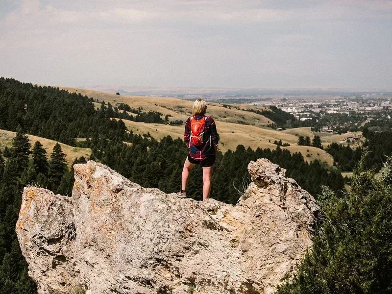
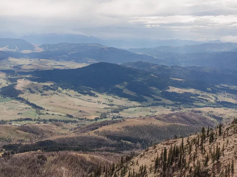
Hiking in Bozeman starts the moment you look up. Mountain ranges rise in every direction, with miles of trails that lead to alpine lakes, wildflower meadows, waterfalls and sweeping summit views. Whether you want a mellow walk close to town or a full day in the high country, you’ll find a trail that fits your pace and your crew.

Below, discover the best hikes in Bozeman, seasonal favorites, trail maps and local resources, plus safety tips and stewardship guidance to help you make the most of your time outside.

Best Hikes in Bozeman

IMG 9433
Emerald Lake Trail

Miles: 8.9
Difficulty:
Elevation Change: 1,850 Feet
Drive Time From Downtown: 45 Minutes
Coordinates: 45.432611, -110.9120059

The impressive, fish-filled Emerald Lake attracts its fair share of mountain bikers, hikers, wildlife watchers, and backpackers to its shores via the Emerald Lake Trail in Hyalite Canyon.

The length of Emerald Lake Trail and the greater elevation gain make it a little more difficult than the previous hikes on this list. It's popular with backpackers, who may even want to venture a little further along the trail to Heather Lake and camp there for the night.

Keep an eye out for dogs and horses — both are allowed on the trail. While you can hike this trail in the winter, it's a little more difficult as it's not very popular that time of year, and you may even need snowshoes.

I Q6 Dtv7r X2
College 'M' Trail

Miles: 1.7 - 2.4
Difficulty:
Elevation Change: 800 Feet
Drive Time From Downtown: 10 Minutes
Coordinates: 45.7146921, -110.9734986

Perhaps the most iconic Bozeman hike, the M Trail takes you to the giant white "M" you see from town. One side of the trail is more moderate and slightly longer, while the other climbs steeply, allowing you to choose the difficulty of your hike.

No matter which option you choose, the 800 feet of elevation gain is still pretty substantial in regards to mileage – either 1.7 miles or 2.4 miles – making it a little more strenuous than the previous three hikes.

Because it's just under 5 miles from downtown, this short trail is a favorite for pre- or post-workday exercise for busy Bozeman locals and their dogs. It offers impressive views of the valley, making it an excellent place to watch the sunset!

South Cottonwood Trail in Bozeman Montana in winter and fall
South Cottonwood Creek Trail

Miles: 4.4
Difficulty:
Elevation Change: 524 Feet
Drive Time From Downtown: 24 Minutes
Coordinates: 45.5400064, -111.0924082

The South Cottonwood Creek Trail is a 4.4-mile, moderately trafficked out-and-back relaxing hike. Busy on the weekends, the trail accommodates dogs on leashes and is popular with families.

Hikers can enjoy several small stream crossings and a mix of terrain, including a fair amount of nearly flat terrain despite the overall 488-foot elevation gain. This is a lovely trail for hot summer evenings, as it parallels a creek and is mostly shady.

Drinking Horse Mountain Trail in Bozeman Montana
Drinking Horse Mountain Trail

Miles: 2.2
Difficulty:
Elevation Change: 583 Feet
Drive Time From Downtown: 10 Minutes
Coordinates: 45.7079292, -110.9801806

This 2.2-mile loop trail offers stunning views of the Gallatin Valley, and is popular with local hikers and runners. It climbs a mere 583 feet and is rated as moderate, but many inexperienced hikers will find it very attainable with a relaxed pace.

Dogs can use the trail, and it's a popular choice for families with smaller children as well.

Lower mount ellis trail
Lower Mount Ellis Trail

Miles: 6
Difficulty:
Elevation Change: 2,400 Feet
Drive Time From Downtown: 13 Minutes
Coordinates: 45.628788704086, -110.96027096984

Located just southeast of Bozeman, this 6-mile out-and-back is a great option for viewing wildflowers in the late spring months and the Bridger Range any time of year.

This trail is lightly trafficked and perfect for finding some solitude. Because it climbs 2,400 feet over 6 miles, it's definitely a more difficult trail and is popular with both hikers and trail runners. Dogs are allowed but must be kept on a leash.

Triple Tree Trail in Bozeman Montana in the fall
Triple Tree Trail

Miles: 5.4
Difficulty:
Elevation Change: 958 Feet
Drive Time From Downtown: 12 Minutes
Coordinates: 45.6130294, -111.0216163

The Triple Tree Trail affords gorgeous views of the Gallatin Valley, and offers two mileage options: it's just 3.4 miles round trip if you park in the Triple Tree Ranch neighborhood, or 5.4 miles at the bottom lot along Sourdough Road.

In the fall, this is one of the best places in Bozeman to see fall foliage, thanks to the large number of aspens lining the trail. However, this hike truly shines in any season, which is why we think it's one of the best hikes near Bozeman. Wildflowers cover the hillside in the late spring and summer, and it's a true winter wonderland when covered in snow. Leashed dogs are welcome.

Hyalite peak trailhead
Hyalite Peak

Miles: 16
Difficulty:
Elevation Change: 3,789 Feet
Drive Time From Downtown: 40 Minutes

A trip to Hyalite Peak is one of the most iconic Bozeman experiences. A true all-day affair, this 16-mile, out-and-back climbs 3,789 feet and is rated as difficult.

The adventure begins at the Hyalite Creek Trailhead and follows a meandering stream with several crossings, before entering a meadow section with an overlook to Hyalite Lake. Many people choose to stop at the lake, but you can also continue to the summit – just make sure you know you're in for an exposed, steep climb!

The Hyalite Peak Trail is popular with hikers, trail runners, backpackers, and even horseback riders. You can bring your dog with you too.

While you can hike this trail in the winter, it'll be much more difficult, and you'll definitely need snowshoes towards the end (if not earlier).

IMG 4610
Sypes Canyon Trail

Miles: 6
Difficulty:
Elevation Change: 1,620 Feet
Drive Time From Downtown: 13 Minutes
Coordinates: 45.7452436, -111.0079126

The Sypes Canyon Trail is a fairly quick afternoon hike if you're looking to get your heart rate up. Located on the north end of town, access to the trailhead takes you through the Springhill neighborhood to the base of the Bridger Mountains.

You gain elevation fairly quickly, hitting switchbacks that will take you to the scenic overlook at about 3 miles. If you're looking to explore further, you can continue on and hook up with a few other trails, including Truman Gulch, the College M Trail, or Middle Cottonwood.

If you're visiting in the late spring or summer, Sypes Canyon Trail is also one of the best wildflower hikes around Bozeman!

History Rock Trail in Bozeman Montana
History Rock

Miles: 3
Difficulty:
Elevation Change: 698 Feet
Drive Time From Downtown: 30 Minutes
Coordinates: 45.4987359, -110.9839015

The 3-mile hike to and from History Rock is a good option for all skill levels. Nestled just 17 miles south of Bozeman in Hyalite Canyon, History Rock is a quick out-and-back trail that gains 698 feet, making it a quick, kid-friendly hike.

For fun, you can climb up to History Rock itself, which is a large sandstone boulder covered with engravings. It's the perfect place for a quick snack before meandering back down the forested hillside.

View From Baldy Peak Summit in Bozeman Montana
Baldy Peak Summit

Miles: 9.6
Difficulty:
Elevation Change: 4,225 Feet
Drive Time From Downtown: 10 Minutes
Coordinates: 45.7146921, -110.9734986

For those seeking a challenging all-day adventure, Baldy Peak Summit is well worth the climb. The almost 10-mile out-and-back trail gains an impressive 4,225 feet as it follows the backbone of the Bridger Mountains, offering breathtaking views along the way.

Hikers who are willing to brave the steep climb to the summit are often rewarded with sightings of mountain goats and wonderful panoramic views. Dogs are allowed but must be kept on leash. Many people will still hike partway up this trail in the winter, as it begins at the M Trail, but the closer you get to the summit, the deeper the snow will be!

Other hikes by season and ability

Maps + Resources

Gvlt maps

GVLT maintains many of the trails in and around Bozeman, including popular routes like the “M” Trail and Drinking Horse. Find up to date trail conditions, maps and information about conservation efforts that keep local open space accessible.

View Website

Custer gallatin national forest

Just outside Bozeman, the Custer Gallatin National Forest offers miles of trails through rugged peaks, dense forest and high alpine terrain. Visit the Forest Service website for trail details, permits, closures and current conditions before you head out.

View Website

Crosscut mountain sports center

Located in Bridger Canyon, Crosscut offers a network of well maintained trails with stunning mountain views. In summer, enjoy hiking and mountain biking; in winter, the area transforms into a Nordic ski destination.

View Website

Friends of hyalite

Hyalite Canyon is a favorite for hiking, climbing and lake views. Friends of Hyalite supports stewardship, education and conservation in the canyon, and their resources help you plan a responsible visit.

View Website

Leave no trace

Protect what makes Bozeman special by following Leave No Trace principles. Learn how to minimize your impact, respect wildlife and keep trails clean so others can enjoy the same experience.

View Website

Safety + Stewardship

Adobe Stock 1574475005

What to Bring for a Safe and Fun Hike in Bozeman

  • Comfortable shoes with solid tread: Running shoes, hiking shoes or boots all work. Choose what fits your route and gives you traction on dirt, rock or snow.
  • Layers: Sun, wind, rain and even snow can roll through in a single day. Bring a light jacket or rain shell so you are ready for anything.
  • Bear spray: Carry it and know how to use it. You cannot bring bear spray on a plane, so plan to purchase it when you arrive.
  • Water: Stay hydrated, especially at higher elevations.
  • Sunscreen, sunglasses and a hat: The Montana sun is strong year round.
  • Backpack: For hikes longer than an hour, pack snacks, extra layers and essentials.
  • Phone or camera: You will want a photo of that summit or alpine lake.
  • Dog waste bags: If your pup joins you, pack it in and pack it out.
  • Traction devices: Add grip to your shoes when trails are snowy or icy.
  • Hiking poles: Helpful for balance on steep or uneven terrain.
Outside kind

Follow HikeKind Guidance

Visit Bozeman is a partner of OutsideKind, an initiative that encourages respectful, responsible, and kind outdoor behavior across all landscapes and uses.

View Website

Before heading out on the trails, review the HikeKind ethics:

Hit the trail with a friendly wave and a smile. Create a culture of kindness on the trails; kindness to the wildlife, kindness to fellow trail users, and kindness to the trail itself. A little trail courtesy goes a long way toward making the outdoors better for everyone.

Obeying applicable leash laws is our responsibility—Know the leash requirements of your area parks and trails.

Smile and say hello. Interact with other trail users.

Don't get caught empty-handed—always bring dog waste bags with you. Don't leave poop bags on the trails—no poop left behind, people or pooch.

Be a trail steward—Know trail conditions and have a plan B if you find the trail you want to hike is muddy.

No cutting corners—stay on designated trails.

Know the weather and bring layers and maybe a snack.

Know the trail conditions and if there is water for your dogs or not. Carry supplemental water to keep your pup hydrated, if needed.

Give back by volunteering for trail clean up and other activities. Give back to a local trail organization.

#VisitBZN